Day 40 - Wilbur Clearing Shelter
Starting location: Father Tom Campsite
Ending location: Wilbur Clearing Shelter
Mileage today: 11.8 miles
Total Mileage: 447.4 miles
Miles from Springer: 1597.1 miles
Miles to Katahdin: 600.9 miles
Today’s Photo
The story behind this photo ...
Today we left Father Tom’s campsite about 7 am. Amee packed up the tent for us since it was still wet from a sprinkle during the night. We didn’t sleep well since it was so hot and muggy.
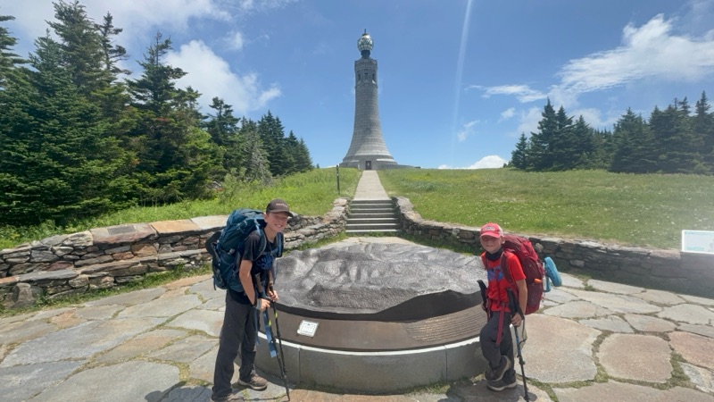
Today we hiked up Mount Greylock. The tallest peak in MA. They have a WW1 memorial at the top you can go in and climb up to see even better views. The hike was 8 miles up to it and it took 5 hours to do it. So not horrible. It was hot and muggy again but there was a nice breeze at times.
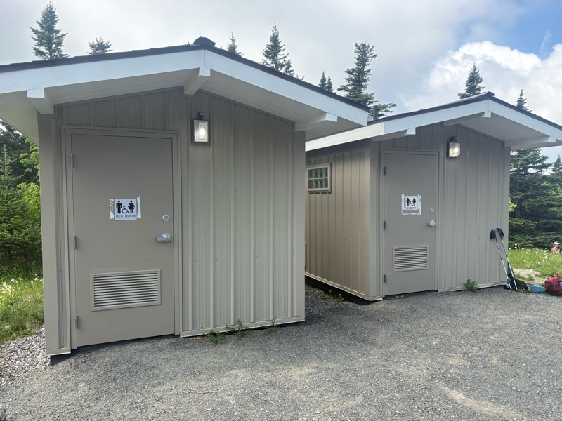
One nice thing was there were flushable toilets and a water spigot to recoup at!
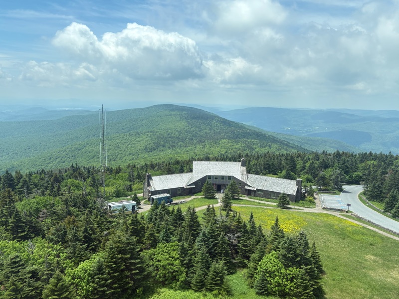
This was were we came from. Also they have a lodge and restraint up here too. This view was from the top of the memorial.
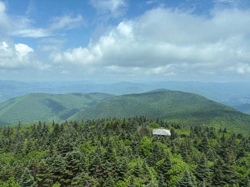
This is north and where we are headed next. Vermont! Woo hoo. We at lunch up there and headed 3.8 miles to the shelter.
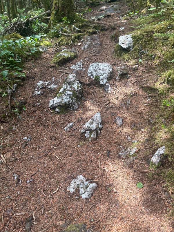
Since the boys love Minecraft, they are excited about all the quartz rocks they find up here. lol. I have never played so I am unimpressed.
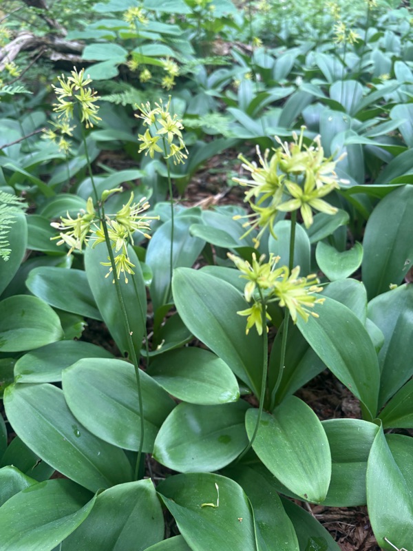
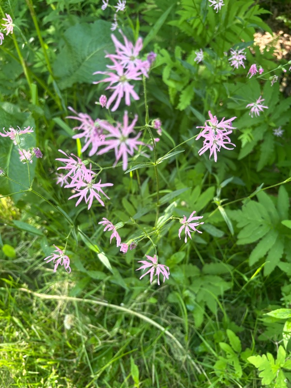
Here are a few flowers blooming that I want to figure out what they are. Just have horrible signal around here so can’t google it.
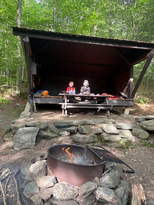
All alone at the shelter yet again. Soon I am sure NOBOs will catch up to us. We ate and then hit the sack at 8 pm. We were so tired today.
Good night.
Gandalf, Legolas & Bombadil.


0 comments:
Post a Comment